Construction | Civil | Engineering

Woolooware Bay Town Centre (Stage 4)

Construction

Durable Control Establishment
Advanced Dilapidation Surveys
Final Occupation Certificate
Accurate Boundary, Datum & Building Positioning
Design Review & RFI Support

Analyse design plans before works to reduce errors and/or delays.

Surveys for RC & Frameworks

Set up precise, recoverable control points using Least Squares designed to outlast the construction lifecycle.

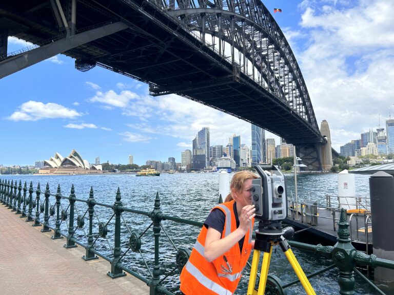
Precision Monitoring Programs

Implement
high-accuracy monitoring systems to track movement surrounding infrastructure & buildings.

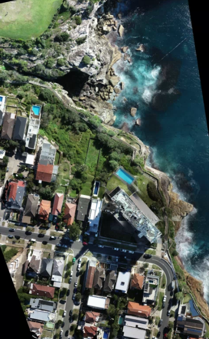
Topographic & Volumetric

Perform detailed site surveys to measure and quantify site materials and workflows effectively.

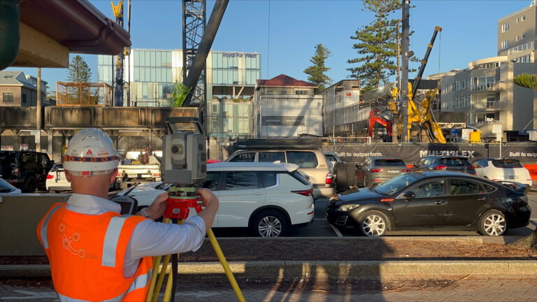
Foundation and Piling Services

Provide precise set-out and as-built surveys for piling and heavy foundations, supported by professional QA reports.

Civil

Cherrie Civil Marrickville

General Civil Works

Earthworks and grading optimization

Setting out for roads, drainage, retaining walls, and utilities

Bulk earthworks and excavation volume calculations

Service alignment and clash detection

As-built surveys for project compliance and certification

Project Advisory Services

Feasibility and constructability assessments

Development of surveying methodologies and workflows

Risk identification and mitigation for survey operations

Compliance and regulatory consulting for civil projects

Strategic planning for survey resource optimisation

Drone Surveys

High-resolution aerial photogrammetry and mapping

Terrain modelling and volumetric calculations

Infrastructure inspection (bridges, towers, pipelines)

Monitoring environmental and construction progress

Ortho-image generation and integration with GIS platforms

GPS & Geodetic Control Networks

Real-time kinematic (RTK) and static GPS surveys

Establishment of geodetic control networks and benchmarks

Boundary re-establishment and cadastral surveys

Compliance verification for the client design models & QA/QC checks for accuracy

Geodetic datum transformations 

GNSS reference station setup, monitoring, and maintenance

Railways

Track alignment and gauge surveys for construction and maintenance

Monitoring deformation of rail infrastructure

Setting out of rail-related structures (platforms, bridges)

Validation of signalling and electrification infrastructure

Roads & Highways

Horizontal and vertical alignment, setting out and verification

Pavement thickness measurements and compliance checks

Intersection design and construction validation

Long-range GPS control surveys for pipelines, highways and rail

Utilities & Services

Underground service location, mapping, and set out

Stormwater, sewer, and electrical infrastructure surveys

Utility clash detection and avoidance planning

As-built surveys for utility records and compliance

Engineering

We specialise in all aspects of engineering surveying for large-scale infrastructure projects such as highways, railways and bridges. 

Commitment to detail from a high accuracy control network to accurate handover templates, helps TSS to deliver a high-quality product.  Data preparation and management are engraved into our quality from WAE drawings to BIM models.

Quality Assurance & Safety
Accredited ISO9001 Quality Management System
Accredited ISO45001 Occupational Health & Safety Management System

We understand the importance of providing the highest quality surveying services to ensure projects are completed professionally and on time.  We achieve this through staff training and having a dedicated team member who continuously monitors and reviews our QA.

We have a comprehensive Quality Management Plan and OH&S Management System that facilitate us in maintaining AEO and ISO accreditations.